
Traficom participates in a global hydrography project that promotes safety and sustainable use of the seas
Finland and the other Nordic countries are pioneers of global hydrography. The Nordic Hydrographic Commission (NHC) was one of the first regional commissions to join the Seabed 2030 project that aims to map all seas of the world by the end of the decade. The Finnish Transport and Communications Agency Traficom represents Finland in the mapping project. The international cooperation project promotes the sustainable use of the seas, protection of the marine environment, safety of navigation and distribution of open data in particular.
Global ocean research and protection support took a leap forward when the Nordic Hydrographic Commission (NHC) joined the Seabed 2030 project. The project promotes the safety of navigation and supports sustainable environmental work. All information gathered will be shared openly. The international mapping project has been officially endorsed as a Decade Action of the UN Ocean Decade.
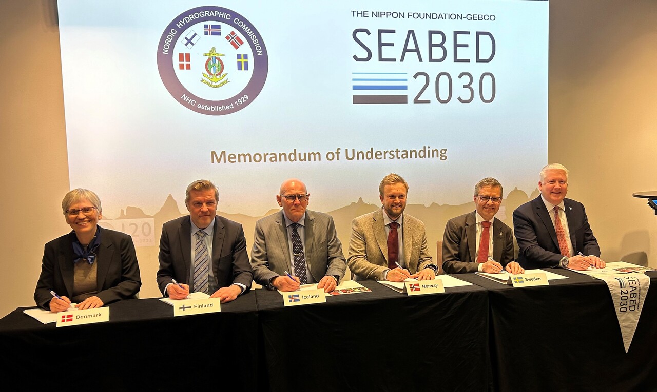
The NHC is the first official regional hydrography commission to join the project. Seabed 2030 aims to map all seas of the world by the end of the decade by the power of cross-border cooperation. Representatives of the NHC signed a Memorandum of Understanding to join the project in Stockholm on 15 April 2024. Finland is represented in the commission by Chief Adviser and Finnish National Hydrographer Rainer Mustaniemi from Traficom.
“This gives a major boost to promoting the safety of navigation as well as environmental protection and climate work. We have taken a leap towards understanding and ensuring the sustainable use of the seas. All of the information gathered will be open access and available to all navigators,” assures Mustaniemi.
An essential tool for climate research
Hydrography, or sea charting, improves the safety of navigation in many ways, because in addition to depth information, it also investigates the characteristics of the seabed and coasts. All additional information helps not only navigation, but also environmental protection and climate research.
“This kind of international cooperation will lead to understanding and ensuring the sustainable use of the seas. The results will also help with mitigating negative climate changes. Our joint efforts will speed up the mapping of remote and uncharted areas, and they will also improve the safety of navigation in these waters,” says Mustaniemi.
The Seabed 2030 hydrography project plays an important role in the distribution of open data. All information gathered in the project will be included in the free and openly accessible General Bathymetric Chart of the Oceans (GEBCO). Most of the merchant shipping routes of the world and areas such as the Baltic Sea are largely completely charted. There is still work to be done especially in the Arctic and the oceans, because approximately one quarter of the world’s seas has been charted in accordance with the requirements of the Seabed project.
“More information is needed, and there crowdsourcing plays an important role. Many coastal states already have information available, and in the project, we must encourage them to combine and share it,” Mustaniemi says.
Further information:
Chief Adviser Rainer Mustaniemi, rainer.mustaniemi@traficom.fi, tel. +358 295 346 745
Chief Adviser Jarmo Mäkinen, jarmo.makinen@traficom.fi, tel. +358 295 346 746
The Nordic Hydrographic Commission and Seabed 2030 Project
The Nordic Hydrographic Commission (NHC) is a cooperation forum by Nordic hydrography authorities, established in 1929.
The NHC is tasked with:
- carrying out and developing technological cooperation in the field of hydrography, activities related to nautical charts, the processing of hydrographic data and hydrography services
- sharing information about scientific research and technological development in the field as well as the experiences and innovations related to the operating processes
- supporting the work done within the framework of the IHO
- assisting members of the Commission in cooperation in case of a potential crisis situation or disaster.
SeaBed2030 aims to compile existing public and openly accessible depth information from all sea areas in the world into a global databank, where it is openly accessible and available for purposes such as research, the protection of the marine environment and the use of sea areas. The project has been officially endorsed as a Decade Action of the UN Ocean Decade.
Seabed 2030 is a cooperation project of the Nippon Foundation and GEBCO (General Bathymetric Chart of the Oceans). The Nippon Foundation is a private Japanese foundation that operates globally in order to promote science, society, culture and peace. GEBCO (General Bathymetric Chart of the Oceans) is an organisation maintaining and developing a database on the depth information or bathymetry of the world's oceans, jointly established by the International Hydrographic Organization (IHO) and the Intergovernmental Oceanographic Commission (IOC) operating under UNESCO. The Seabed 2030 data will be compiled into the freely available GEBCO Ocean Map.